Before I describe our tour of Mt. Rainier, lets understand "the mountain". Mt. Rainier, at 14400 ft, is a massively prominent stratovolcano that dominates the Seattle area skyline. It is the most heavily glaciated peak in lower 48 (I think McKinley in Alaska tops the list) It is a tourist's paradise - lakes, forests, rivers, glacier valleys, glaciers, hikes, waterfalls, ski resorts...
We planned to drive the route encircling Mt. Rainier and discover all corners of this
majestic national park.During the circle tour, we planned to stop at many vista/tourist points, visit Sunrise Park and take the Crystal Mountain gondola. Total time estimate: 8 hours.
We booked hotel accommodations at Kent (about 75mi from Sunrise). Although we checked the weather, it was cold with morning showers. But we still set out to see Mt. Rainier. After a beautiful drive through Enumclaw, we entered the Chinook Scenic Highway - the gateway to the mountain.
Greenwater: This small community bustles in the summer. It's the
last place to get gas on this side of park. It has some wonderful hikes, but we could not accommodate it in our schedule. You can watch the White River flowing from the mountain.
 |
| White River Valley @ Greenwater |
|
Mt. Rainier Viewpoint: We could not see the mountain from here - either due to clouds or the trees, but a little further up the road we caught glimpses of the peak.
Skookum Falls: Ten miles east of Greenwater, stop at the viewpoint and look at pretty Skookum Falls. Dropping a dramatic 250 feet in
two tiers, watch the water shimmer as it makes its way down the
mountainside leading into the White River. There is a nice easy 8-mi hike through a suspension bridge to the base on the waterfalls.
Crystal Mountain Ski Area: After an amazing scenic drive, we headed to Crystal Mt resort. Arriving at Crystal Mountain, our escape continued with a ride aboard
the Mt Rainier Gondola starting at 4,000 ft and ascending to the
famous Summit House restaurant. The restaurant is located at over 7,000
ft. providing the ultimate high altitude dining experience. The summit provides incredible view of Mt. Rainier, White River Valley and on clear days as far south as Mt. St. Helens, Mt Adams and Mt Hood. But as luck would have it, the morning showers were still falling as snow flakes at the summit and it was a whitewash :(
Tipsoo Lake & Chinook Pass Summit: Traveling along the Chinook Scenic Byway, drive under the dramatic log and stone archway marking the summit of Chinook Pass. Drive a few miles past the summit and stop at the stunning Tipsoo lake - one of the most photographed reflection lakes. It was still ice & snow when we went to the lake.
Grove of the Patriarchs: One of the easiest hikes with a suspension bridge while walking in a forest of really big old growth trees. The trail goes upstream through a stand of old tall exquisite red
cedars, douglas firs and western hemlocks. The path leads to
a crossing of the Ohanapecosh River on a suspension bridge at just less
than 1/2 of a mile. Go over the bridge in single file, following
directions on a sign suggesting one person at a time. Upon crossing the
bridge, you reach the island. After passing through smaller trees, the
path forks and loops around.
Paradise Area: Due to road construction the road from Sunrise to Paradise was slow and required driving on kacha roads. We visited Martha Falls, Louise Falls and Reflection Lakes (although still filled with snow & ice). We also visited the Ricksecker point loop viewpoint - this viewpoint offers views of Mt Rainier, Nisqually valley, Nisqually glacier and other glaciers. Due to fog our visibility was limited.
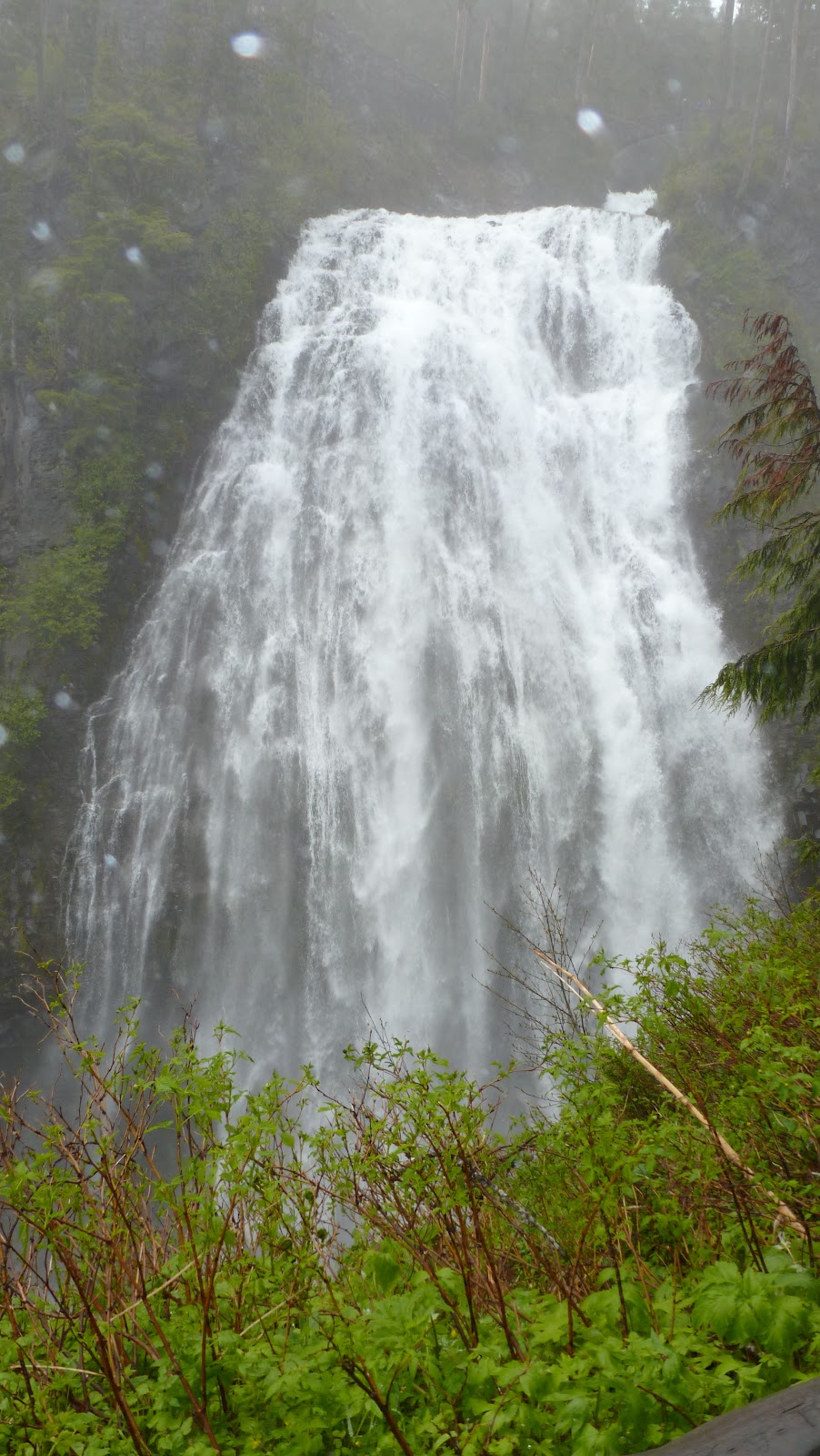
Narada Falls: The massive 160ft waterfall is truly breathtaking. There is a short trail to a viewpoint. The waters fan a thick mist out over the popular viewpoint.
Christine Falls: A few miles up, the road passes the Christine Falls viewpoint. The 60ft falls splashes down and a small flight of stairs leads to another beautiful lookout of the falls. The upper drop and the lower drop provide a beautiful view.
 |
| Lower drop of Christine Falls |
Loop Summary:
View Mt. Rainier Loop Driving in a larger map
References:
http://www.nps.gov/mora/index.htm
http://www.visitrainier.com/pg/hiking/Hiking-in-the-Mt-Rainier-National-Park-Area
Snoqualmie:
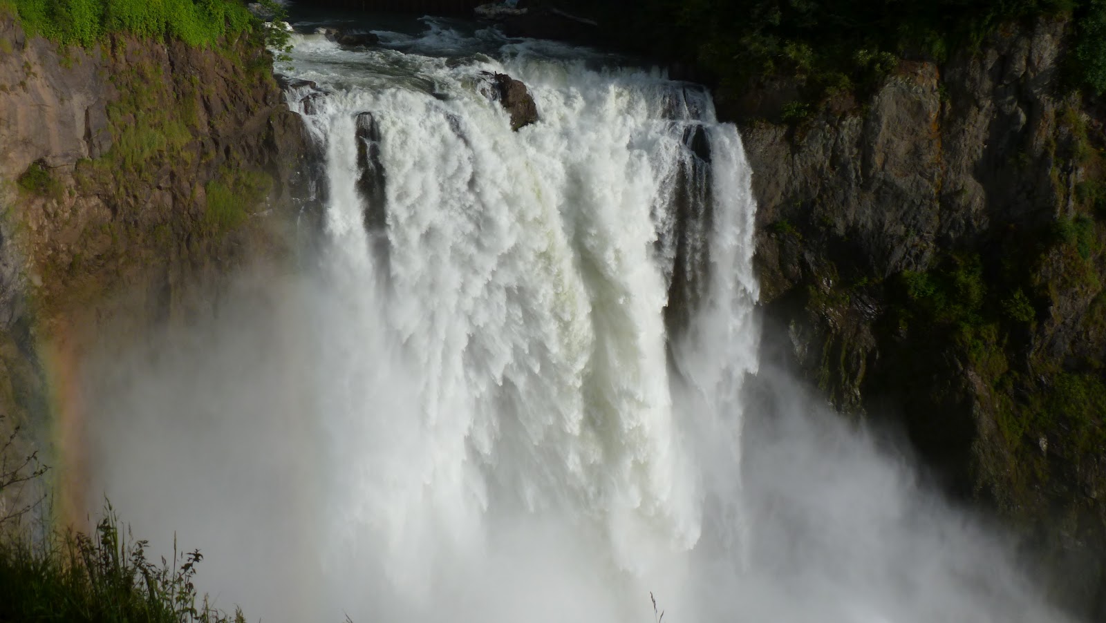
On our way back, we planned to stop at Snoqualmie village and view the falls, one of WA state's most popular scenic attractions. At the
falls, you will find a two-acre park, gift shop, observation deck, the
Salish Lodge and the famous 270 foot waterfall. You can also watch rainbow at certain angles. The hiking trails are closed until 2013 due to the construction of a hydel-power dam.
On the day back, we drove across the I90 floating bridge over Mercer Island.
 |
| I90 Floating Bridge |